
Aus der Online-Kartensammlung der British Library hat Kuratorin Kimberly Kowal interessante Karten zu Großbritannien zusammengestellt:
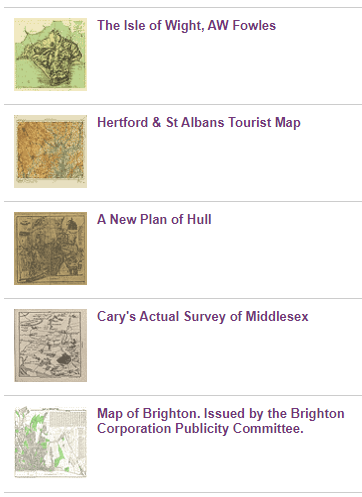
This sundry collection of maps depicting places in the UK illustrates the variety of mapping produced primarily in the 19th and 20th centuries. The outstanding British map publishers are represented, as are „modern“ themes of car, rail and air transport and medical and social mapping.
Neben den fünf für die „Curator’s choice“ ausgewählten Karten finden Sie unter „See all of the items in this exhibition“ zahlreiche weitere Digitalisate.
Die „Maps of the UK“ sind Teil der Online-Kartensammlung der British Library.


Schreibe einen Kommentar